There’s a question we hear more and more from clients in critical infrastructure — and it’s not about resolution, range, or turnaround time.
It’s this: “Where does our data go?”
It’s the right question. In an era where aerial data feeds directly into infrastructure planning, security assessments, and disaster response, the aircraft you fly is no longer just a tool. It’s part of your client’s security posture. A drone that captures brilliant imagery but can’t account for its supply chain, its firmware, or its data pathways is a liability dressed up as a capability.
That’s why we built the AVTS platform stack the way we did. Not around what was cheapest or most convenient — but around what could be trusted in environments where security and compliance are non-negotiable.
Here’s what that looks like in practice.
The Aircraft: Inspired Flight IF1200A (Blue UAS)
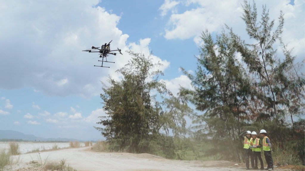
The foundation of any sensitive mission is the airframe itself, and ours is the IF1200A — a heavy-lift, multi-payload platform on the U.S. Defense Innovation Unit’s Blue UAS list.
Blue UAS isn’t a marketing badge. It means the aircraft has been vetted for cybersecurity and supply chain integrity to the standard required for U.S. Department of Defense procurement. Every component, every data pathway, every firmware update has been scrutinized so that operators — and their clients — don’t have to wonder what’s happening inside the aircraft.
For our clients, that translates into three practical advantages:
Payload flexibility. Heavy-lift capacity means the IF1200A carries survey-grade sensors — LiDAR, high-resolution imaging, and more — without compromising flight stability or endurance. One trusted airframe, multiple mission profiles.
Eligibility. Projects tied to defense, government, or security-sensitive infrastructure increasingly require vetted platforms. Flying Blue UAS hardware means AVTS can operate where many providers simply cannot bid.
Confidence. When the data ends up in a planning document, a security assessment, or a federal deliverable, no one has to ask uncomfortable questions about how it was collected.
The LiDAR: Teledyne Geospatial EchoONE
Terrain doesn’t stop where vegetation starts — and in our region, vegetation is everywhere. That’s why our LiDAR payload of choice is the EchoONE: a lightweight, long-range, NDAA-compliant airborne laser scanner built for engineering-grade results.
What makes it exceptional for our work:
- Vegetation penetration
- Survey-grade accuracy
- Real-time assurance
- Secure by design
The Camera: Sentera 65 (65 MP Global Shutter)
For photogrammetry and 3D reconstruction, sensor quality determines everything downstream. The Sentera 65 gives us 65 megapixels with a global shutter — and that second part matters more than most people realize.
A rolling shutter reads the image line by line, which introduces distortion when the camera is moving — and on a survey flight, the camera is always moving. A global shutter captures the entire frame in a single instant. The result: geometrically clean imagery, sharper reconstructions, and more reliable measurements from every frame.
Combined with 65 MP resolution, this means fewer flight lines, richer orthomosaics, and 3D models with the fidelity that inspection, planning, and engineering work demands.
AVTS made the decision early: build the entire stack — airframe, LiDAR, imaging — on secure, compliant hardware. It costs more. It’s worth more.
AVTS — precision from above, trusted on the ground.