Client / Mission Context
Rapid-response humanitarian and engineering assessment following the 2025 Cebu earthquake in the Philippines. Supported by the US-Philippine Society, the mission focused on assessing structural damage across five critical schools in the municipalities of Medellin and Torrevillas to safeguard students and guide community recovery.
Problem / Requirement
Urgent need to evaluate structural integrity and damage across multiple educational facilities following severe seismic activity.
Requirement for fast, safe, and highly accurate visual and spatial documentation to prioritize immediate structural repairs and inform long-term rehabilitation planning without risking personnel in unstable structures.
AVTS Role
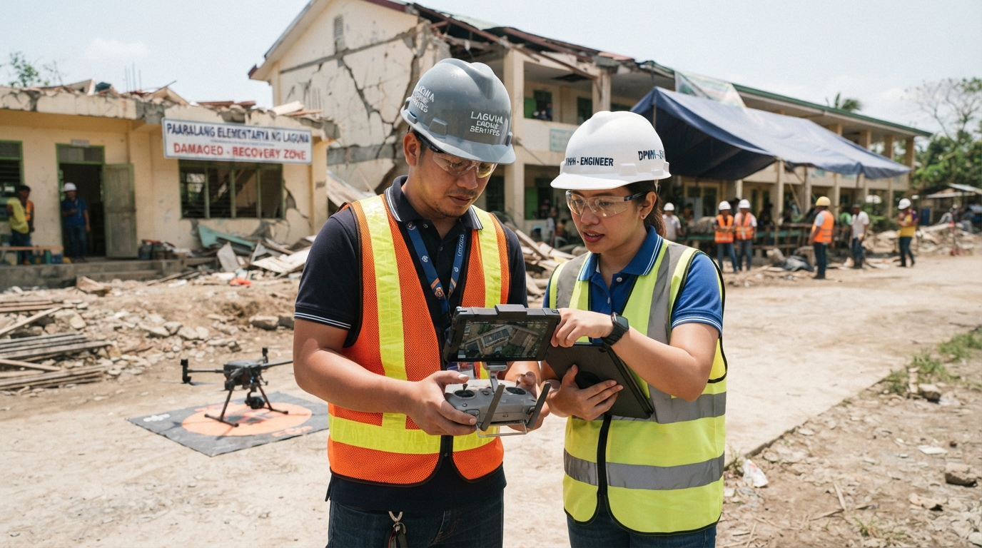
Rapid mobilization partner, deploying certified drone pilots and structural engineers to execute aerial inspections, high-resolution damage documentation, and geospatial safety analysis.
Equipment & Technology Used
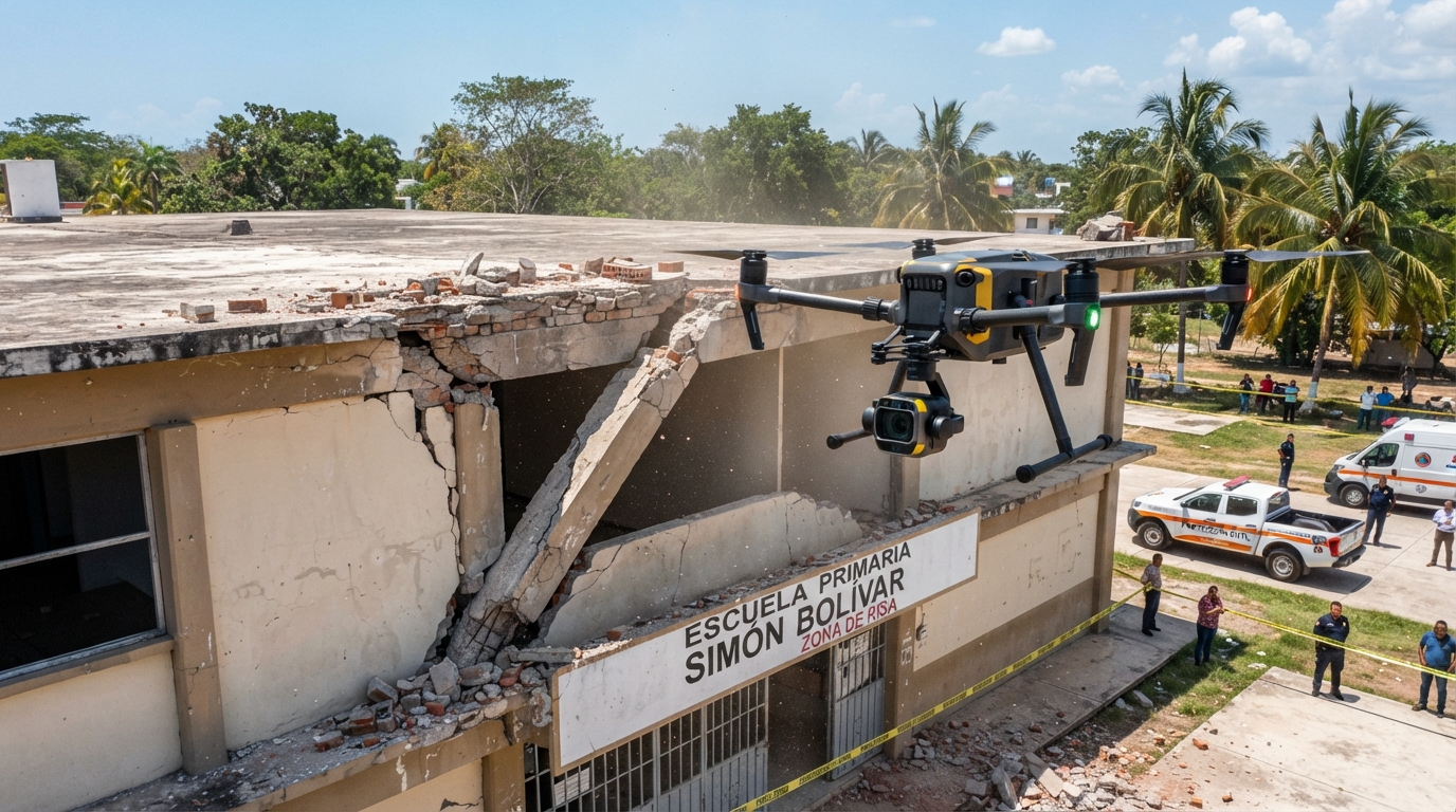
Aerial Inspection Systems: High-resolution imaging drones optimized for close-range structural inspection.
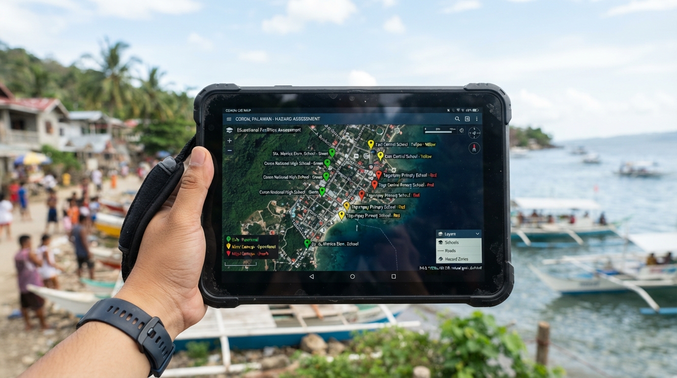
Geospatial & Analysis Tools: Geographic Information System (GIS) software for spatial damage mapping and safety planning analysis.
Imaging Hardware: Professional high-resolution optical cameras for detailed structural fracture documentation.
Scope of Work
Rapid Field Mobilization: Deployed specialized drone operators and engineering personnel directly to the affected inspection zones in Medellin and Torrevillas.
Aerial Structural Inspections: Conducted close-range drone flights across five designated schools to safely capture high-resolution imagery of roofs, facades, and high-risk structural elements.
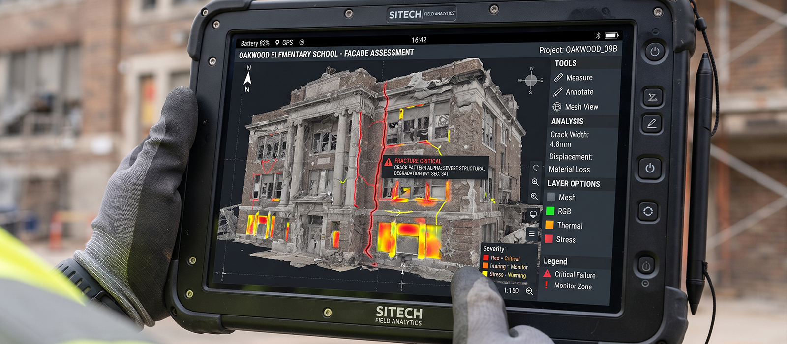
Condition Documentation: Utilized advanced photography to document fractures, shifts, and structural vulnerabilities in detail.
GIS Damage Analysis: Integrated captured imagery into GIS platforms to map out conditions, establish safety zones, and categorize repair priorities.
Deliverables
High-resolution aerial inspection datasets and localized structural damage portfolios.
GIS-mapped condition assessments identifying high-risk and stabilized zones across all five school sites.
Actionable engineering assessment packages to support safety planning, repair prioritization, and long-term reconstruction.
Result / Outcome
Demonstrated a highly successful rapid mobilization capability in an active disaster zone, delivering critical datasets within the necessary timeframe.
Provided local authorities and stakeholders with the definitive, actionable assessments required to secure immediate safety funding, prioritize repairs, and accelerate community recovery.