Client / Mission Context
Collaborating with Amentum (HT) to execute a comprehensive pre-construction engineering assessment. The mission focused on establishing highly accurate environmental, soil, and topographic baselines to safeguard future infrastructure assets against environmental vulnerabilities.
Problem / Requirement
Critical lack of localized terrain data regarding potential flood-prone zones, drainage paths, and elevation changes.
Requirement for dense, data-driven soil profiles and environmental baseline metrics to fulfill engineering prerequisites before project planning and structural designs could be finalized.
AVTS Role
Primary engineering assessment and aerial surveying partner, tasked with executing end-to-end site diagnostics, physical ground sampling, and high-resolution aerial mapping.
Equipment & Technology Used
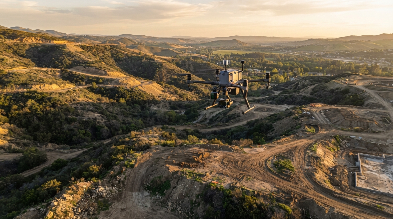
Aerial Systems: Industrial mapping and surveying drones equipped with high-resolution sensors and photogrammetry/LiDAR capabilities for precision elevation data capture.
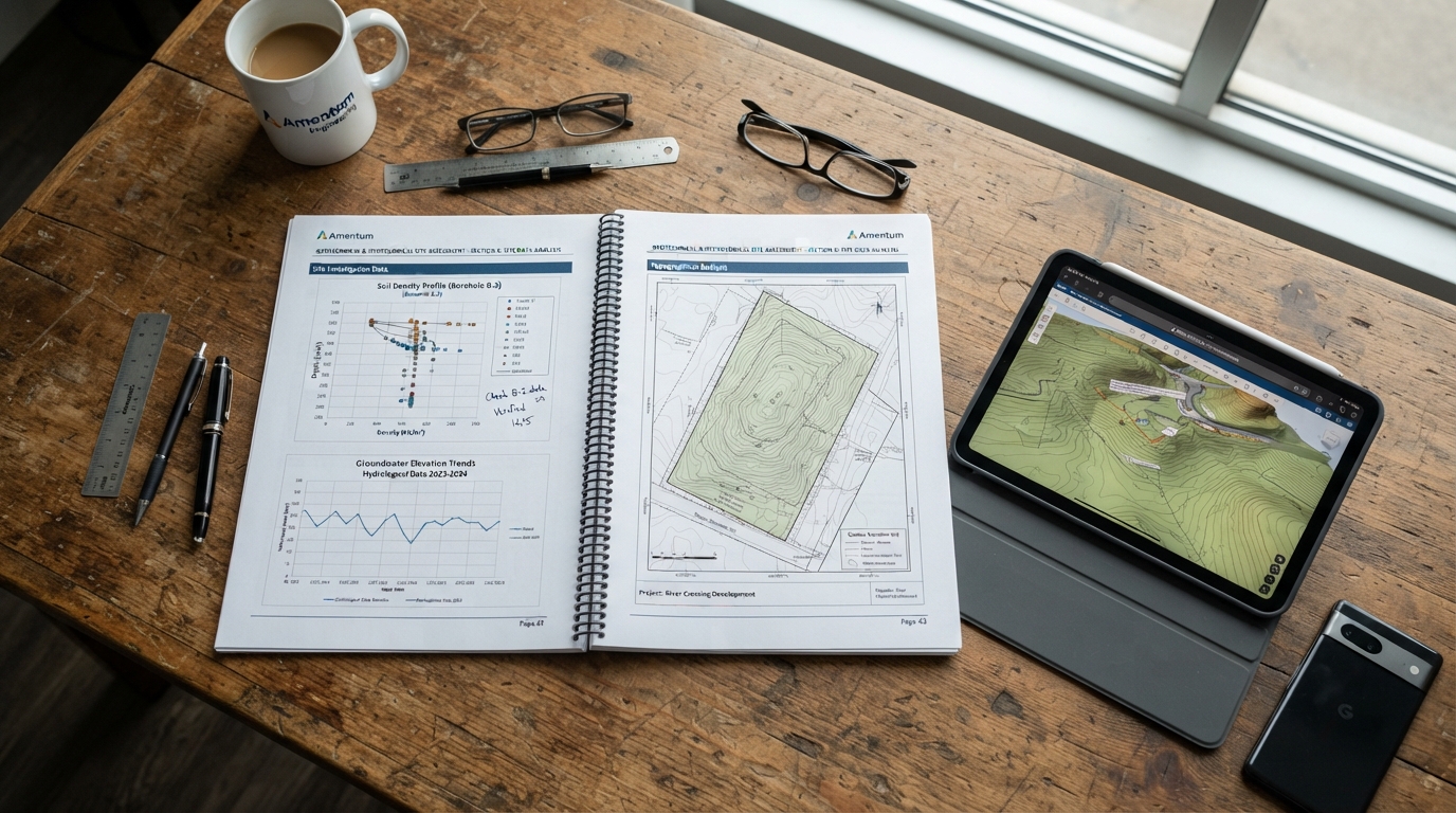
Geospatial & Analysis Software: Geographic Information System (GIS) tools and topographic mapping software for digital elevation modeling.
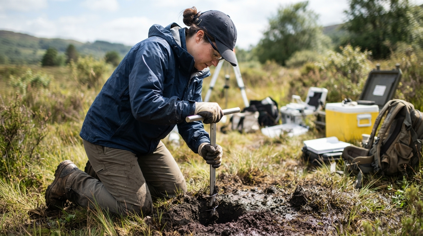
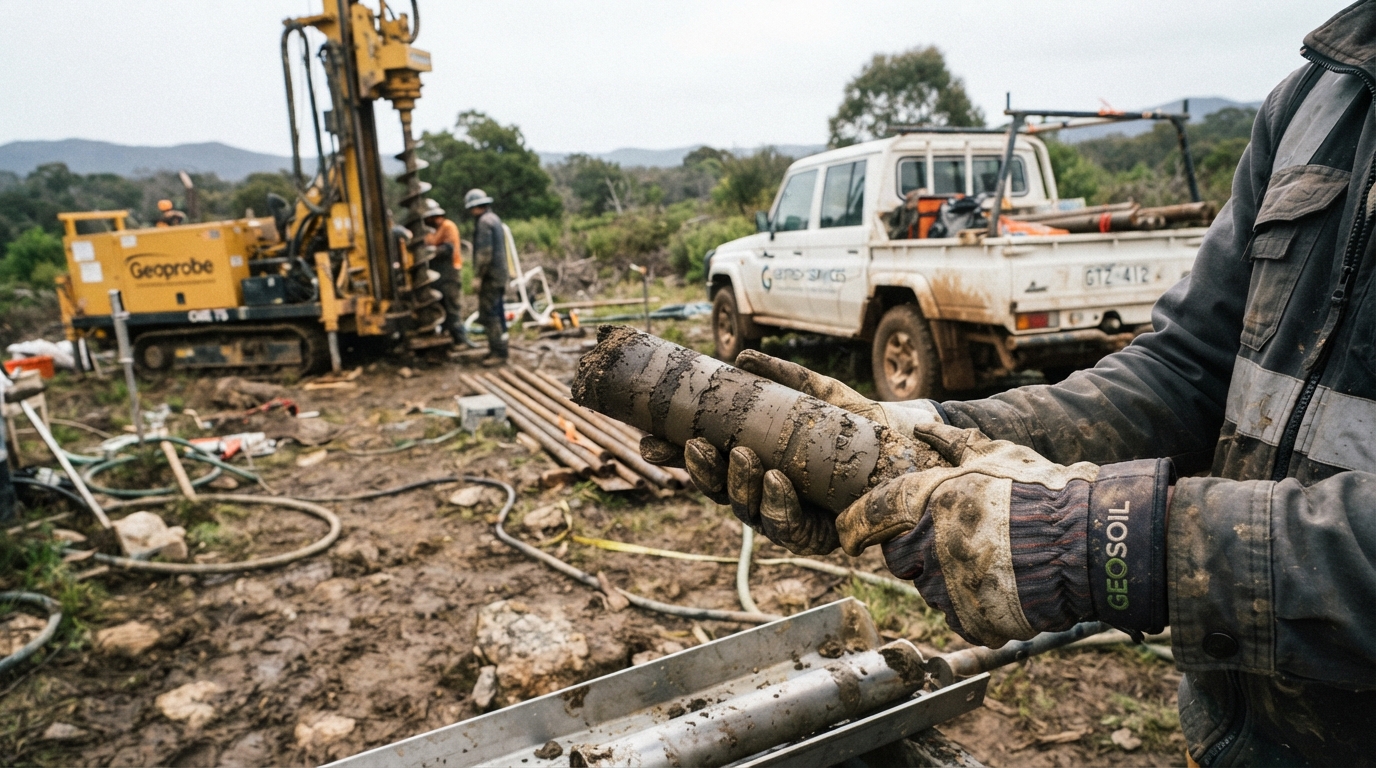
Geotechnical & Field Testing Equipment: Specialized soil core sampling tools and environmental survey instrumentation.
Scope of Work
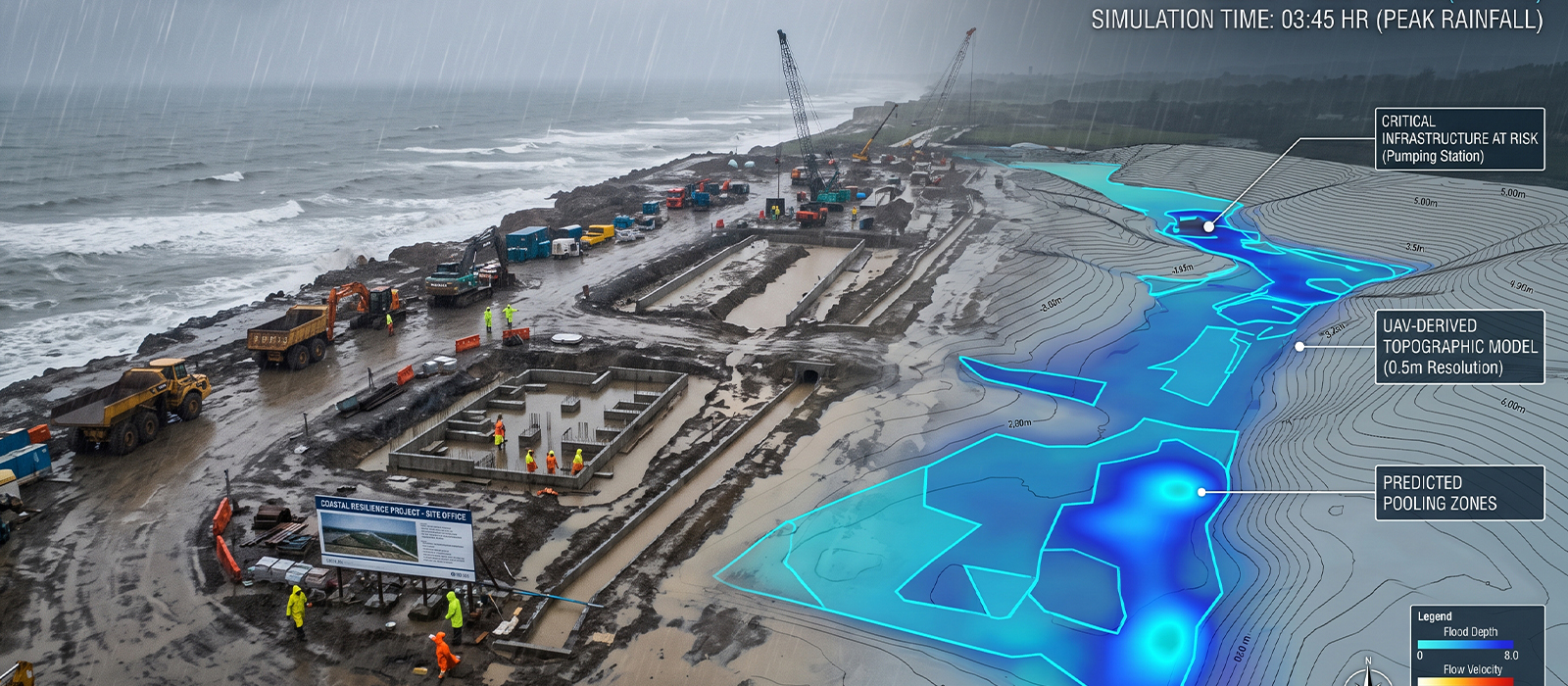
Topographic Drone Surveys: Conducted high-precision drone mapping flights across all designated sites to plot surface contours and capture high-resolution spatial data.
Geotechnical & Environmental Testing: Performed physical soil testing and environmental baseline surveys to evaluate soil mechanics and local ecological conditions.
Hydrological & Elevation Analysis: Analyzed captured elevation profiles to map surface water flow dynamics and accurately identify low-lying, flood-prone areas.
Risk Assessment Reporting: Synthesized all aerial and ground data into actionable engineering reports to guide infrastructure placement and disaster resilience.
Deliverables
High-resolution aerial orthomosaics and detailed topographic contour maps.
Digital Elevation Models (DEM) explicitly highlighting localized flood-risk zones.
Comprehensive soil testing data and environmental baseline survey reports.
Data-driven risk assessment packages to support engineering design and storm risk mitigation.
Result / Outcome
Successfully delivered a highly accurate geospatial and environmental foundation that directly informed Amentum (HT)’s project planning phase.
Provided the predictive data necessary to engineer precise seasonal and storm risk mitigation strategies, significantly lowering future asset vulnerability.