Client / Mission Context
Federal infrastructure modernization and spatial asset management across the Bureau of Indian Education’s (BIE) national network, covering 183 K–12 schools and two college campuses nationwide.
Problem / Requirement
Lack of standardized, centralized, and high-accuracy spatial and facility data across a geographically dispersed nationwide portfolio.
Need for comprehensive 3D digital documentation, indoor/outdoor floor plans, structural models, and topographical flood risk analysis to streamline site planning, remote inspections, and facility maintenance.
AVTS Role
Lead GIS, spatial data, and 3D scanning partner responsible for nationwide data acquisition, aerial/terrestrial capture, BIM modeling, and delivery of interactive mapping tools.
Equipment & Technology Used
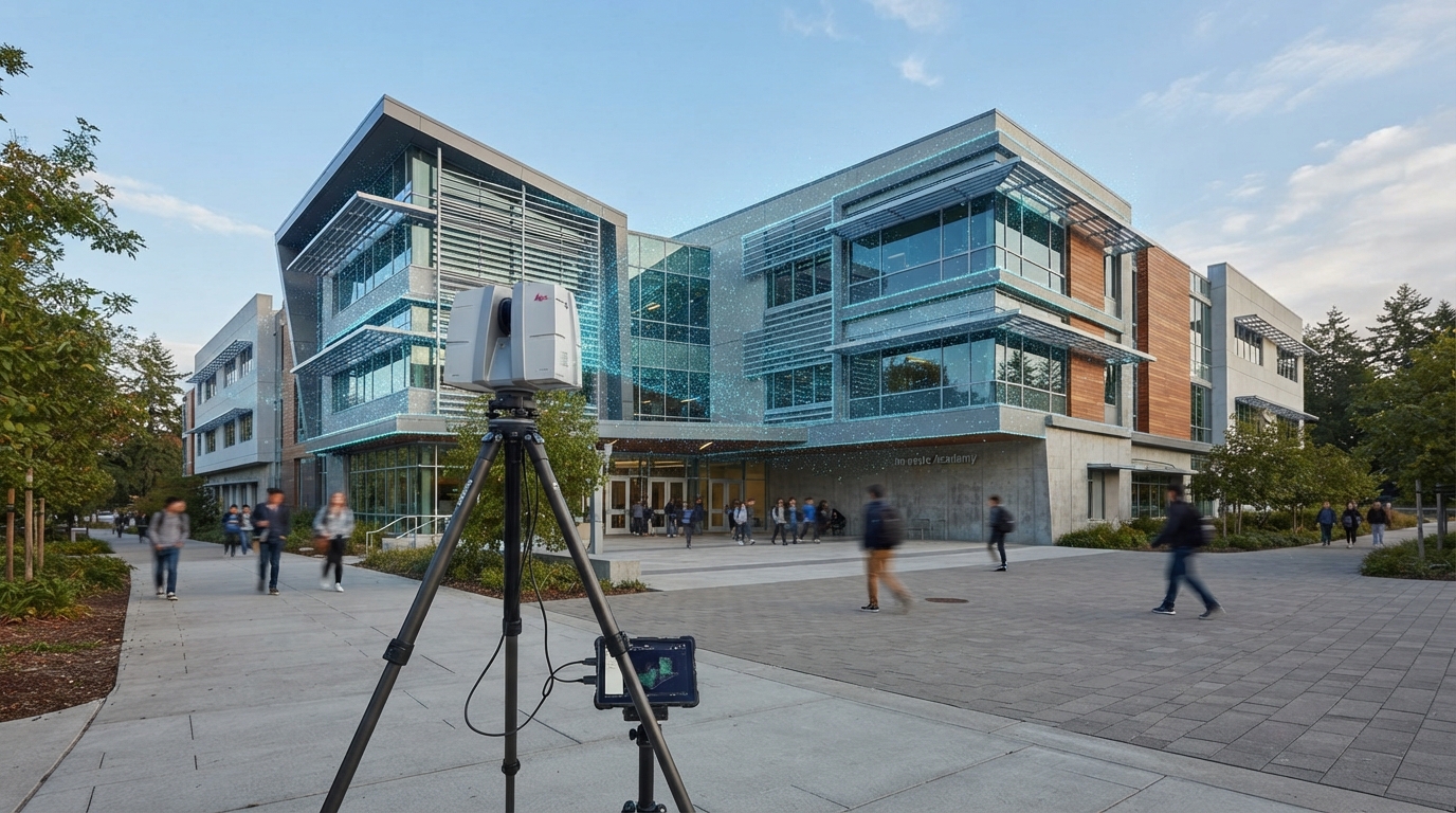
3D Scanning & Aerial Capture: Terrestrial LiDAR scanners, high-precision aerial photogrammetry drones.
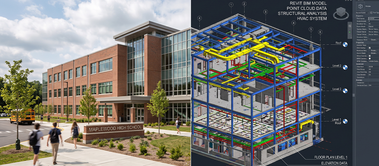
BIM & Point Cloud Software: Autodesk Revit, Autodesk ReCap.
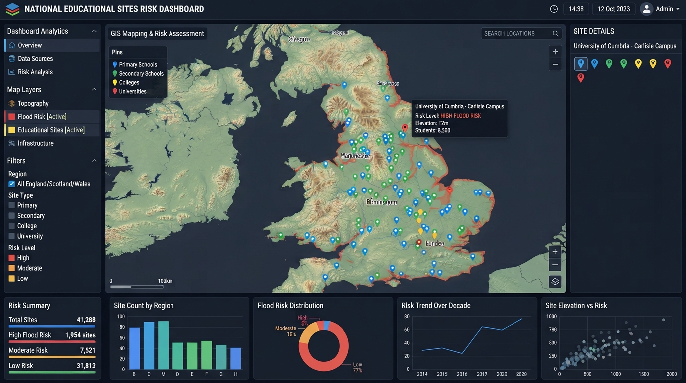
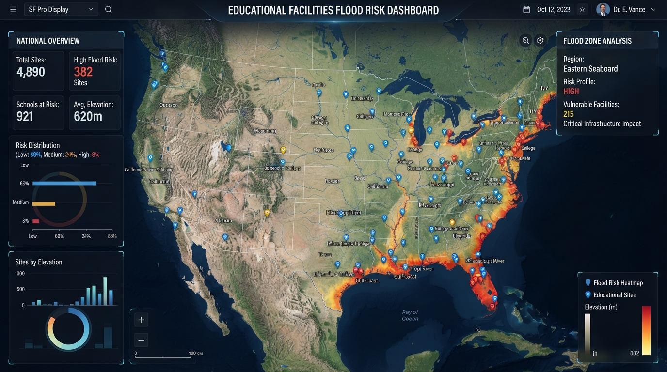
GIS & Visualization Platforms: Interactive GIS mapping, digital elevation modeling (DEM), topographical flood mapping tools.
Scope of Work
Nationwide GIS Data Collection: Gathered, visualized, and analyzed spatial data across 185 educational facilities nationwide.
LiDAR & Aerial Photogrammetry: Deployed terrestrial LiDAR and drone photogrammetry to generate dense point clouds, high-resolution orthomosaics, and accurate elevation profiles.
BIM & Architectural Modeling: Processed raw point clouds into detailed BIM models using Revit and Autodesk ReCap to generate floor plans, roof layouts, and precise square/cubic footage metrics.
Interactive & Remote Inspection Tools: Built interactive GIS dashboards and topographical flood maps to support remote facility inspections and long-term site planning.
Deliverables
Interactive GIS mapping platforms and topographical flood analysis models.
High-density point cloud models, 3D BIM assets (Revit / ReCap), and detailed floor/roof plans.
High-resolution aerial orthomosaics and digital elevation datasets.
Accurate square footage and cubic footage spatial documentation for all targeted facilities.
Result / Outcome
Successfully established a unified digital twin baseline across 183 K–12 schools and two college campuses.
Empowered federal decision-makers with remote inspection capabilities and data-driven insights for long-term site planning, risk management, and facility optimization.